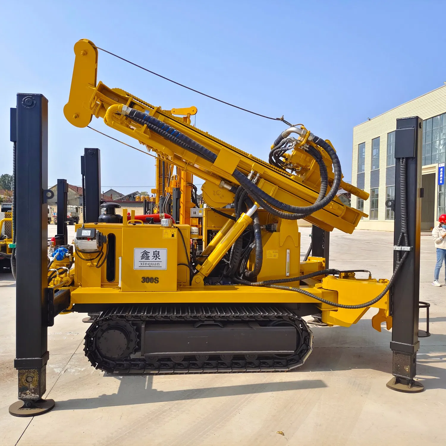
Geological Survey Key Points for Water Well Drilling in Loess Layer
Geological survey is a crucial step before water well drilling rig operations in loess layers.
-
Understand the thickness and distribution range of the loess layer.
Use geological mapping, geophysical exploration, 等。, to accurately grasp thickness variations in different areas. This is vital for determining well depth and selecting suitable drilling rig types. 例如, in regions with thick loess layers, choose rigs with sufficient drilling depth and hoisting capacity. -
Investigate the geotechnical properties of loess, including particle composition, porosity, and collapsibility.
Particle composition determines the hardness and stability of loess, while porosity affects its permeability. Collapsibility relates to the long-term stability of the wellbore. For loess layers with strong collapsibility, adopt special reinforcement measures during construction.
-
Pay attention to the groundwater level and flow conditions in the loess layer.water well drilling rig
Knowing the depth of the groundwater level helps determine the reasonable well depth to avoid over-drilling or insufficient drilling. Mastering the flow direction and velocity assists in judging the mud circulation effect and the scouring condition of the wellbore. If the flow velocity is too high, adjust the mud properties or change the drilling process to ensure wellbore stability. -
Additionally, survey whether geological structures like faults and fractures exist in the loess layer.
These structures may cause wellbore collapse or mud loss. Use geological radar, seismic exploration, 等。, to accurately identify the positions of geological structures, and avoid them or formulate countermeasures in advance during construction to ensure the smooth progress of water well drilling operations.
 邦欣钻机
邦欣钻机