 Bangxin бұрғылау қондырғысы
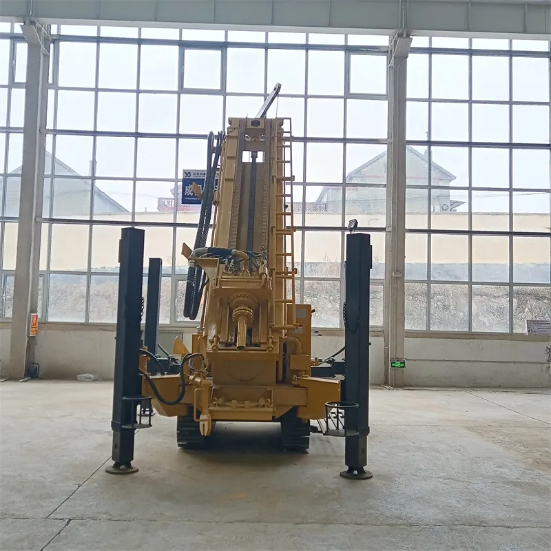
Comprehensive Analysis of Water Well Drilling Rig and Hydrogeological Data
A water well drilling rig provides core, water level and quality data. Comprehensive analysis turns this into reliable results.
-
Stratigraphic and aquifer division: Compare core data from drill holes. Draw profiles to separate aquifers and barriers by lithology. A region analyzed 50 cores, identifying 3 aquifers and 2 barriers—clarifying groundwater distribution.
-
Water level dynamics and water quality analysis: Plot water level curves over time. Link changes to rainfall or pumping. One area saw 2-3m rise in rainy seasons, 1-2m drop in dry—rain as main supply. Analyze water pH, mineralization. Classify types; assess usability. A region’s water fits drinking standards.
-
Spatial interpolation of parameters: Use Kriging or inverse distance weighting for parameters like permeability. A plain’s 20 holes mapped higher permeability near rivers (>10m/d).
These methods maximize a water well drilling rig data value. They support sound water resource development for water well drilling rigs.