
Synergy of Water Well Drilling Rig and Geophysical Techniques in Hydrogeology
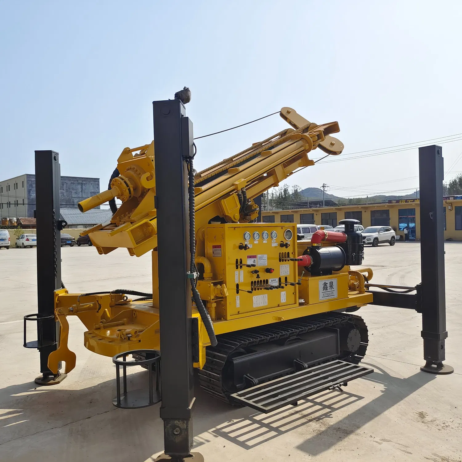
A water well drilling rig works with geophysics for “surface prediction + underground verification,” boosting efficiency.
-
Electrical exploration and drilling: Electrical methods map aquifers (low resistivity) and barriers (high). The rig drills in anomaly zones. A dry area’s 5km² low-resistivity zone was tested—3 wells yielded >30m³/h, proving it.
-
Seismic exploration and borehole calibration: Seismic surveys find rock interfaces/faults. The rig cores to confirm lithology and water yield. A mountain fault found by seismic tests was drilled. Its fractured core showed 15m³/h yield, confirming it conducts water.
-
Magnetic surveys and remote sensing aid drilling: Magnetic methods locate rock contact zones, rich in fracture water. A basin’s magnetic boundary was drilled—200m depth hit 25m³/h. Remote sensing guides rig placement; desert oases led to 5 groundwater finds.
Geophysics gives regional data; the water well drilling rig offers details. Together, they make exploration thorough and precise for water well drilling rigs.