 Bohrinsel Bangxin
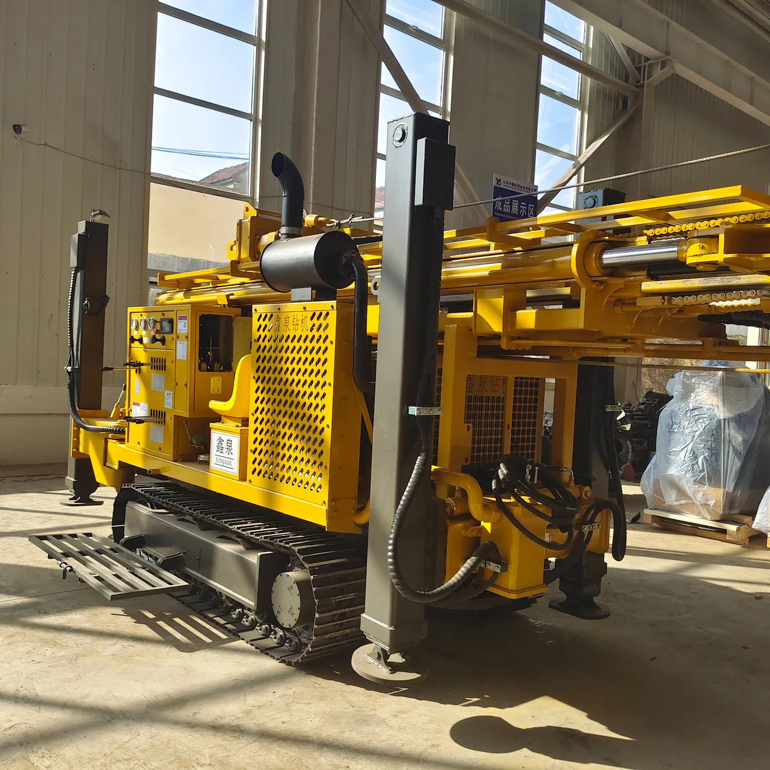
Principles for Borehole Placement of Water Well Drilling Rig in Hydrogeological Exploration
A water well drilling rig efficiency depends largely on scientific borehole placement. It ensures representative hydrogeological data.
-
Uniformity and representativeness: Spread boreholes evenly to cover all landforms and geology. A 100km² plain used a 10km×10km grid with 10 holes. It included river terraces and old channels, giving reliable data.
-
Intensification in key areas: Add more holes in water-rich zones, complex geology (e.g., fault zones). A city’s water source area cut spacing from 2km to 500m. It mapped boundaries and aquifer permeability clearly.
-
Profile-line and surface-based placement: Along groundwater flow or geological profiles, analyze vertical and horizontal changes. A valley placed 5 holes across the river, showing falling water levels from riverbed to terrace. Avoid pollution sources; prioritize springs/wetlands. A mountain spring’s nearby hole found 15m-deep limestone fracture water.
Good placement gets full data with few holes. It cuts costs and boosts results for the water well drilling rig.