 Bangxin-boortuig
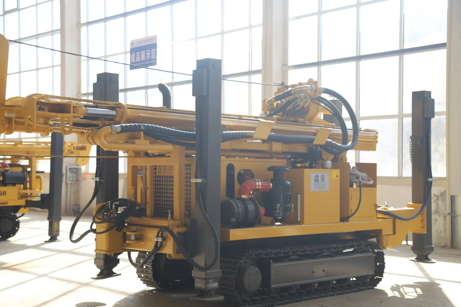
Impact of Drilling Depth of Water Well Drilling Rig on Hydrogeological Results
A water well drilling rig depth must fit exploration goals and aquifer depth. Too deep or shallow harms data.
-
Shallow drilling (<50m): Checks shallow groundwater and surface-water links. A farm area drilled 20-30m, finding main irrigation sand layers. But it misses deep aquifers, unfit for total resource assessment.
-
Medium drilling (50-300m): Covers shallow and upper confined water. Good for small cities’ water supply surveys. A county drilled 200m, finding two aquifers—data for dual-source water plans.
-
Deep drilling (>300m): Explores deep confined water, geothermal water. A dry area drilled 500m, finding sandstone aquifers with 15m³/h yield. Costs 3-5x more; needs careful planning.
Base depth on geophysics, geology and goals. One area drilled 120m (target <100m), covering aquifers at reasonable cost. The water well drilling rig thus balances data and expense.